HKK ForestGEO Project
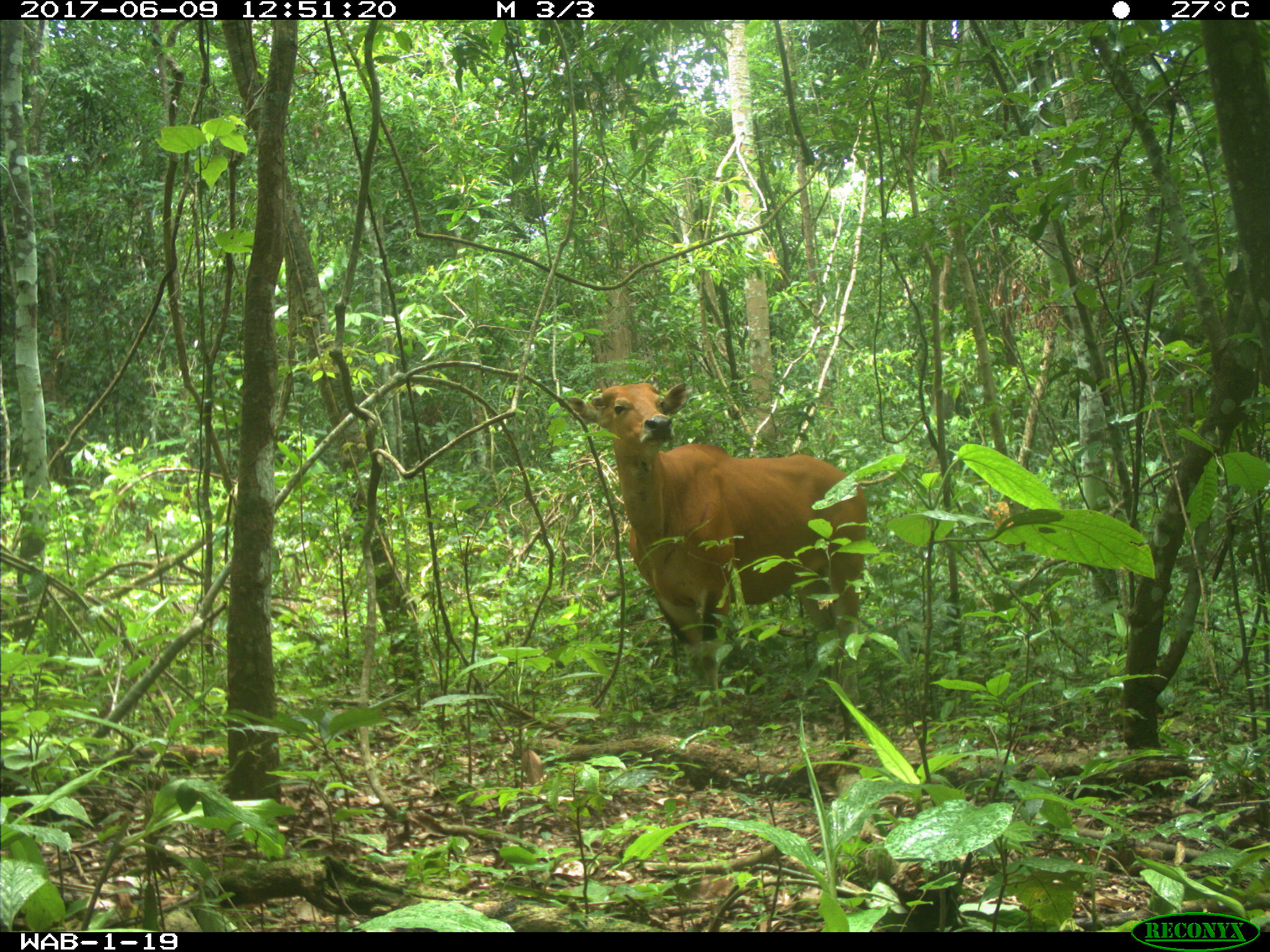
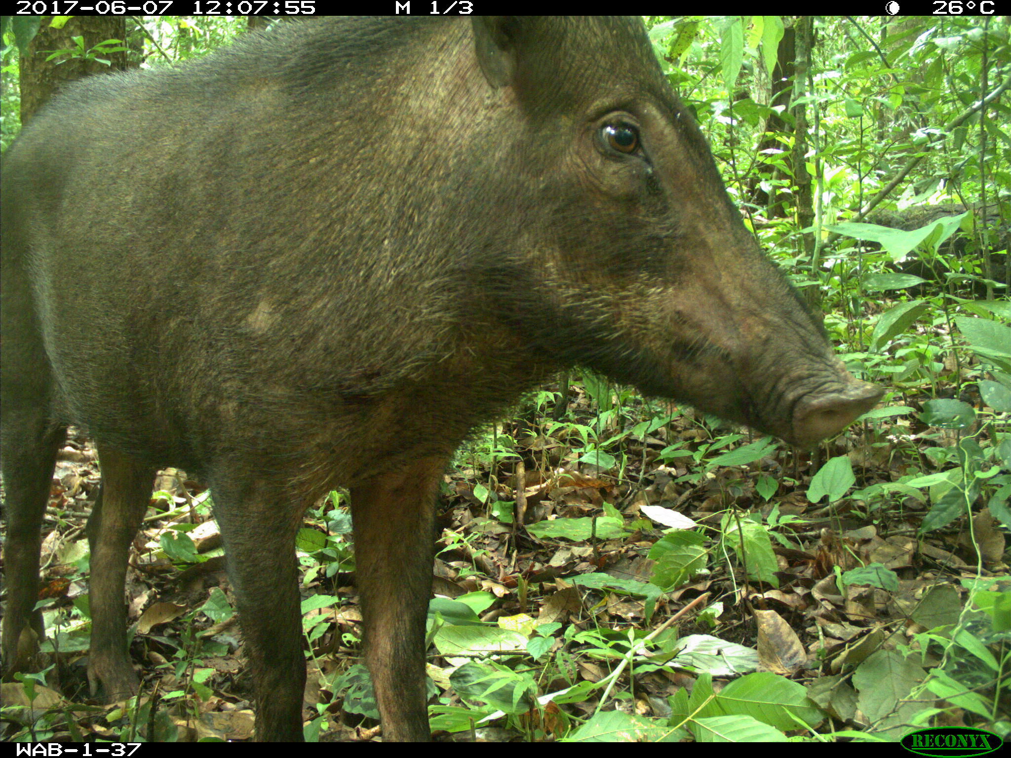
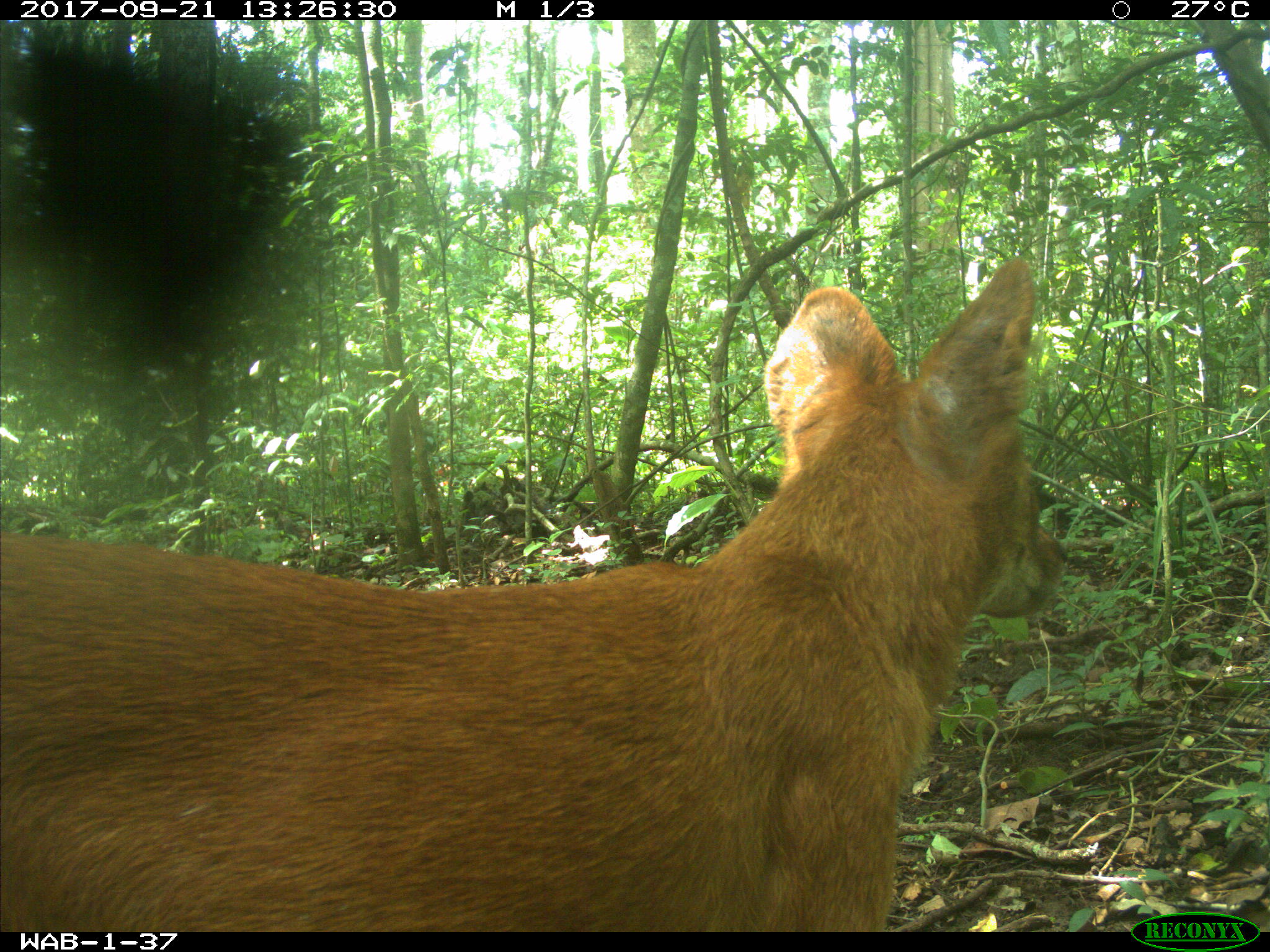
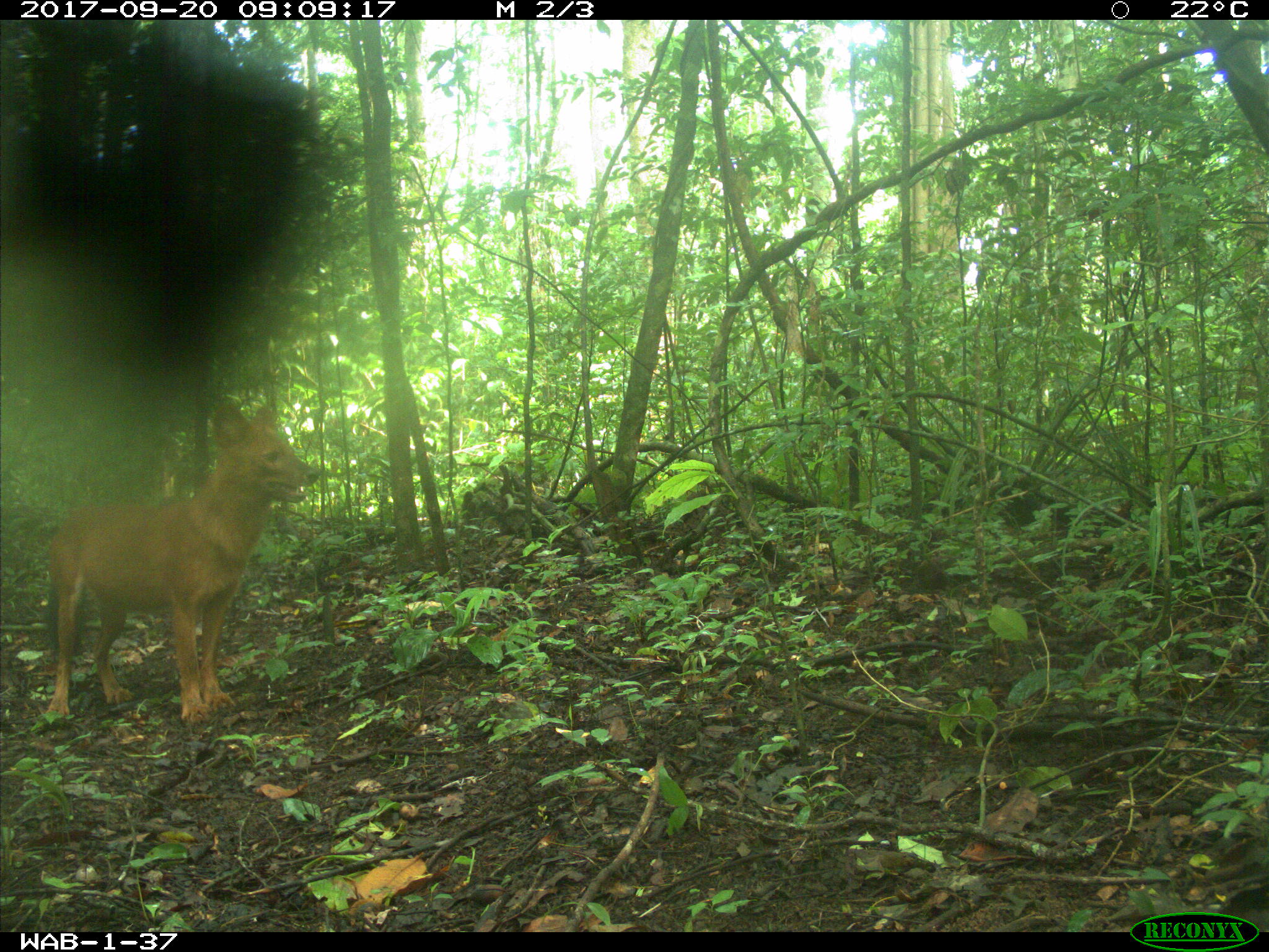
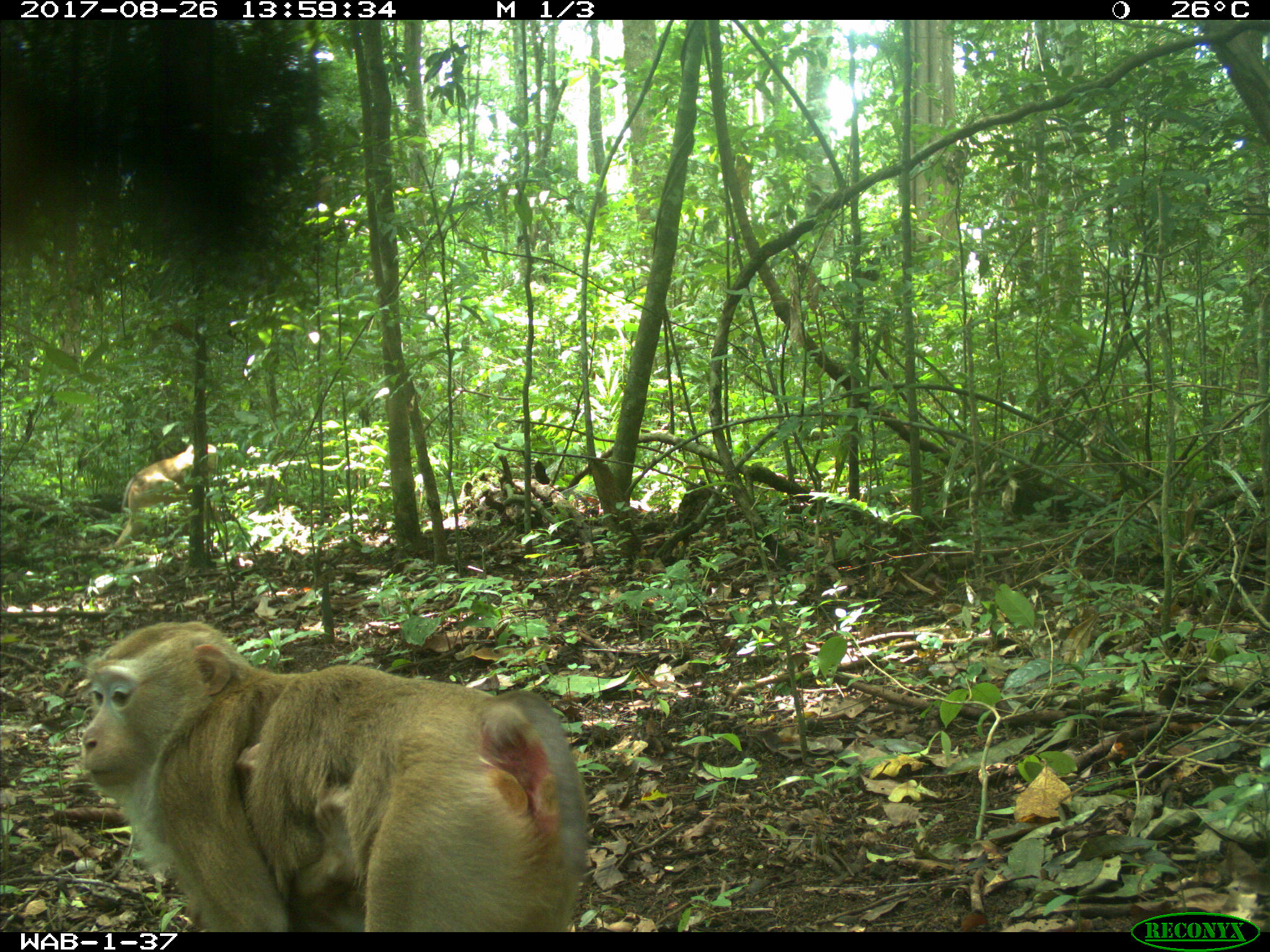
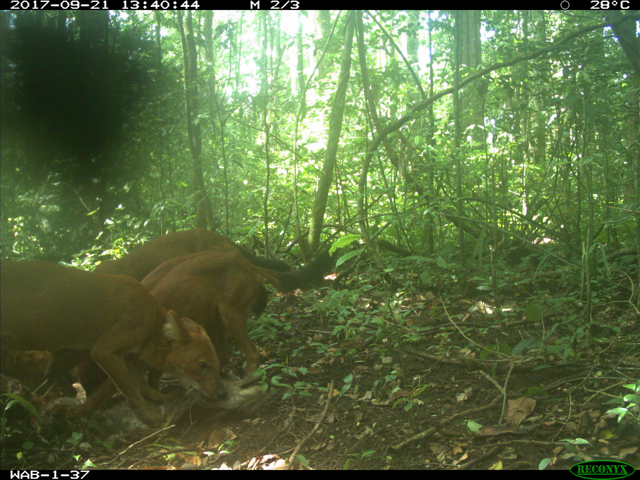
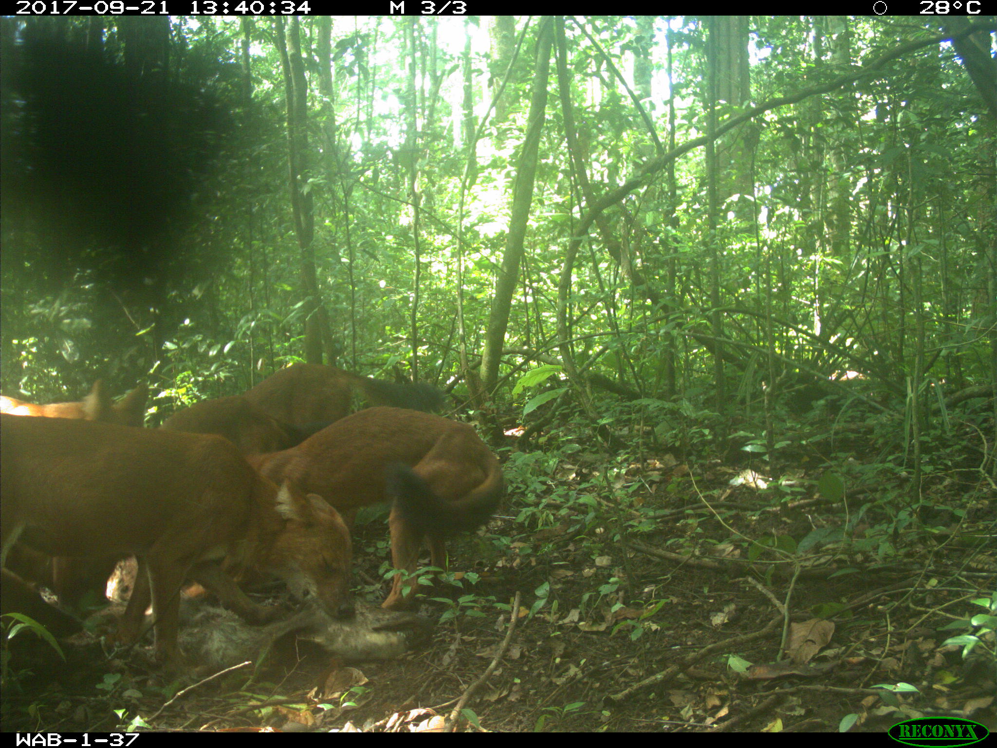
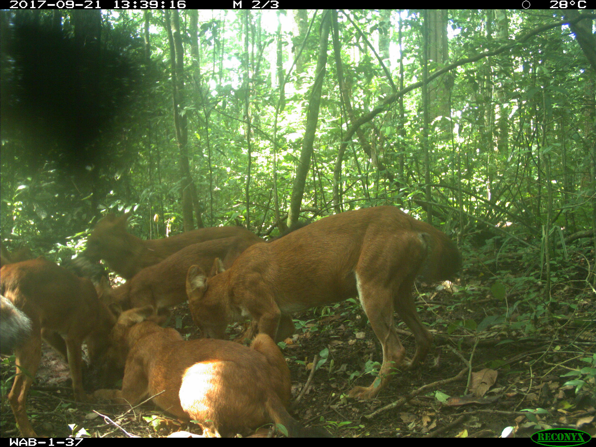
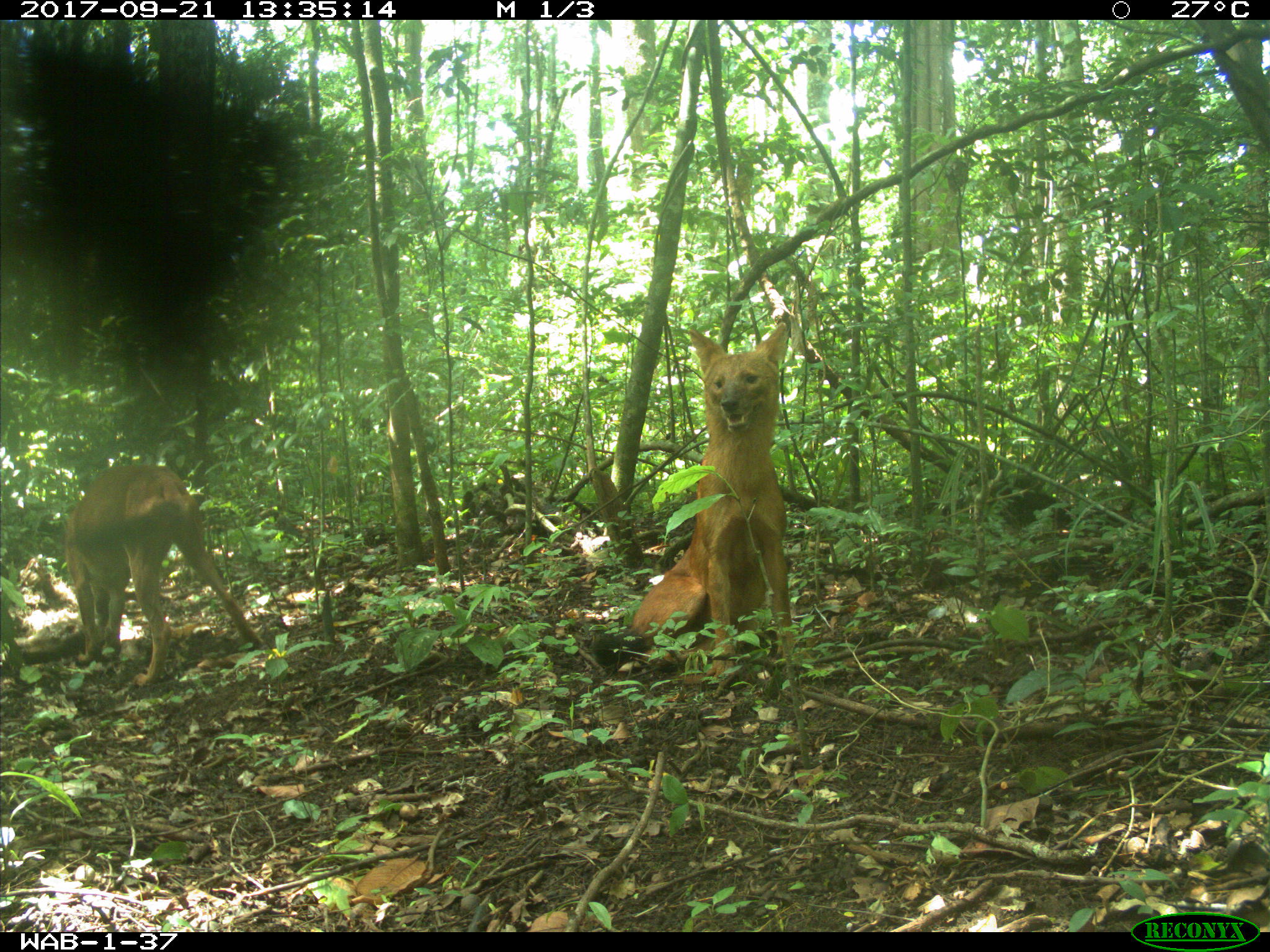
The Huai Kha Khaeng (HKK) Forest Dynamics plot was initiated in 1992 by the Thai Royal Forest Department in collaboration with ForestGEO and Harvard University. The HKK plot is located in the Huai Kha Khaeng Wildlife Sanctuary, a World Heritage Site in western Thailand. The plot is dominated by seasonal evergreen forest, a critically endangered habitat in the region, embedded within a landscape-scale matrix that also includes mixed deciduous and deciduous dipterocarp forests. The area is notable for its abundance of large vertebrate herbivores, such as elephants, gaur, banteng, and tapir, and their predators, such as tigers, leopards, and wild dogs. In addition, Huai Kha Khaeng is renowned for its remarkable bird diversity, which includes the endangered green peafowl and white wood duck, as well as many hornbills, woodpeckers, and other bird groups.
The first census at the HKK plot was completed in 1994 with nearly 300 species and 90,000 individuals >1 cm DBH. Subsequent censuses were completed in 1999, 2004, 2009, and, most recently, in 2014. The forest canopy is dominated by the dipterocarps, Hopea odorata and Dipterocarpus alatus, particularly in the northern part of the plot. The strong climatic seasonality means that fires are a common feature of the landscape. In most years they are restricted to the open deciduous forest types and do not burn into the shadier evergreen forest. However, in extreme years, often associated with El Nino-Southern Oscillation (ENSO) events, strong droughts impact the region and fires burn across large parts of the landscape and into the seasonal evergreen forest. Fires burnt through the entire plot in 1998 and through approximately two-thirds of the plot in 2004.
A range of complementary studies have been conducted in and around the HKK plot. These include phenological surveys, dendrometer banding, soil nutrient status, and dendrochronological studies. Recently, studies on soil seed bank dynamics and seedling dynamics have been initiated. The research at the HKK long-term forest dynamics plot has been supported by the Arnold Arboretum, USAID, the US National Science Foundation, and the National Institute for Environmental Studies in Japan.
Caveats:
The intent was to survey 50 locations within the 1 km2, however some cameras malfunctioned and we did not upload sites with less than 7 days of activity. Two locations were surveyed for substantially longer than the 30 days required and some metadata for deployments was lost. For those deployments missing metadata, we assigned the deployment to a pre-assigned location but not necessarily to the proper location within the plot. The re-assigned deployments are identifiable in notes.

