Rabi ForestGEO Project
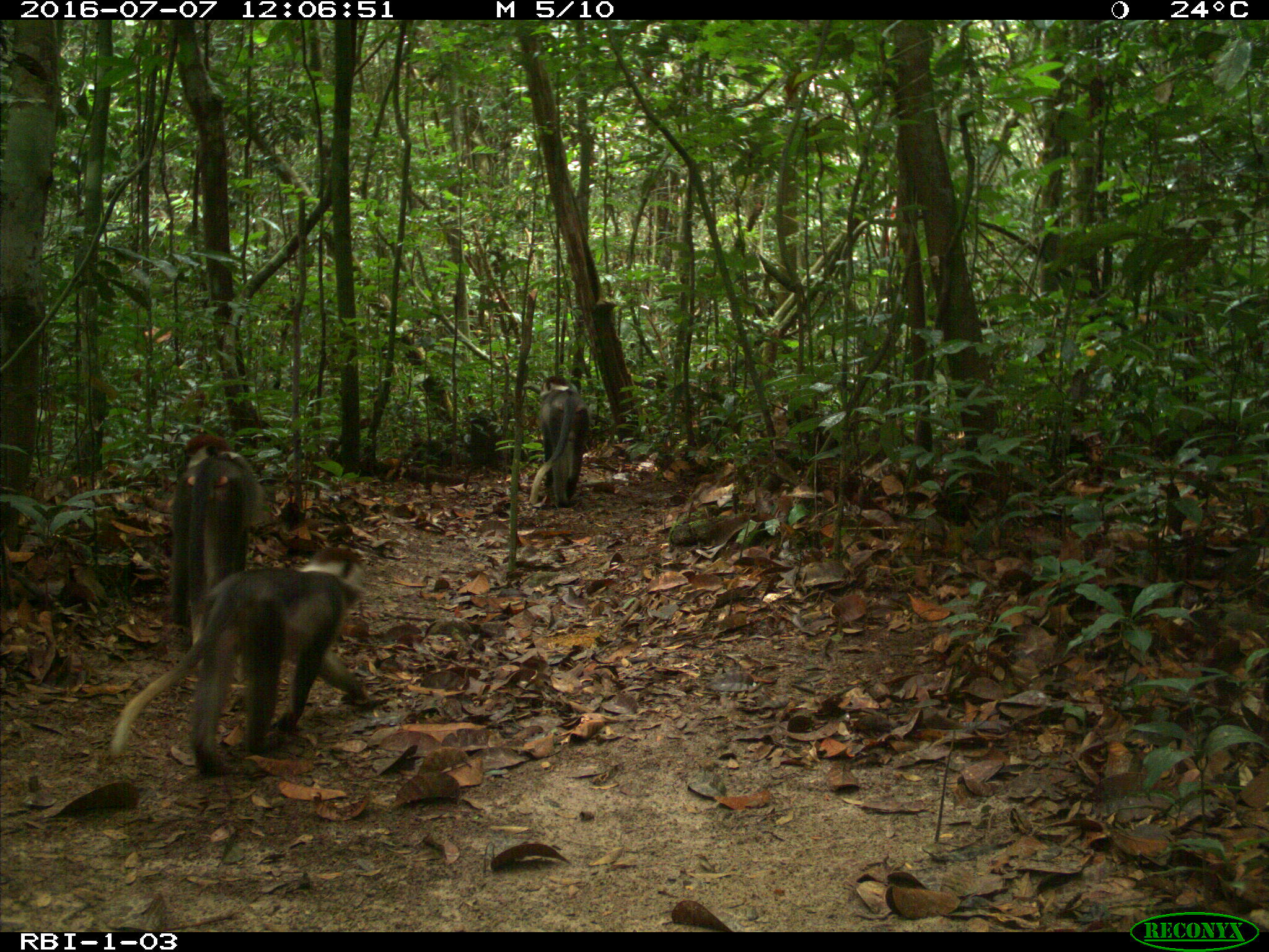
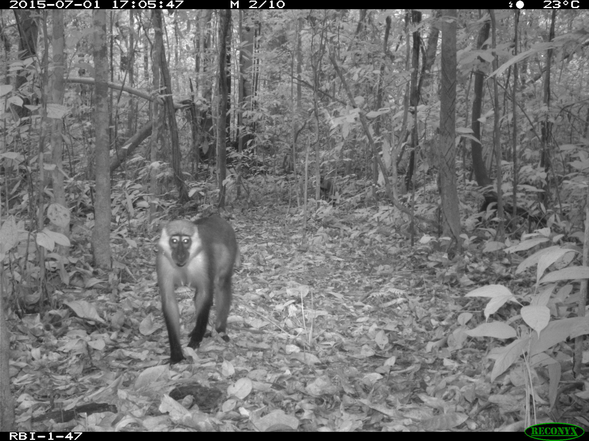
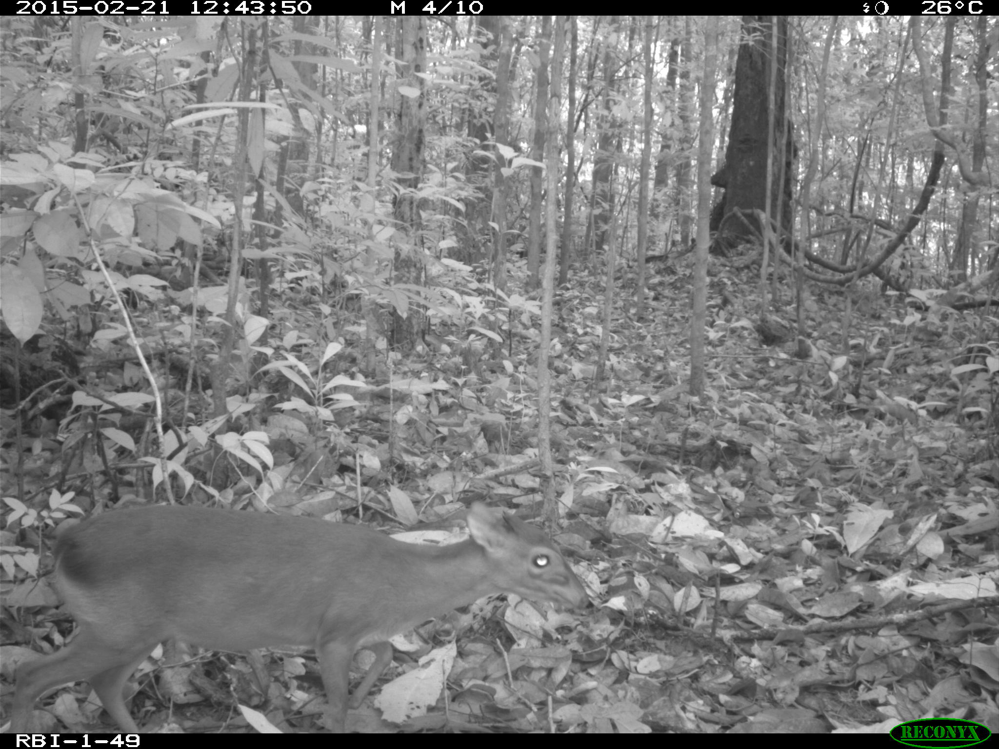
The Rabi plot is situated in an onshore hydrocarbon concession in coastal Gabon and has been established in 2009. It is part of the ForestGEO worldwide network of plots and has been surveyed with camera traps four times between 2014 and 2016 with a grid of 49 camera sites for at least 21 days per deployment.
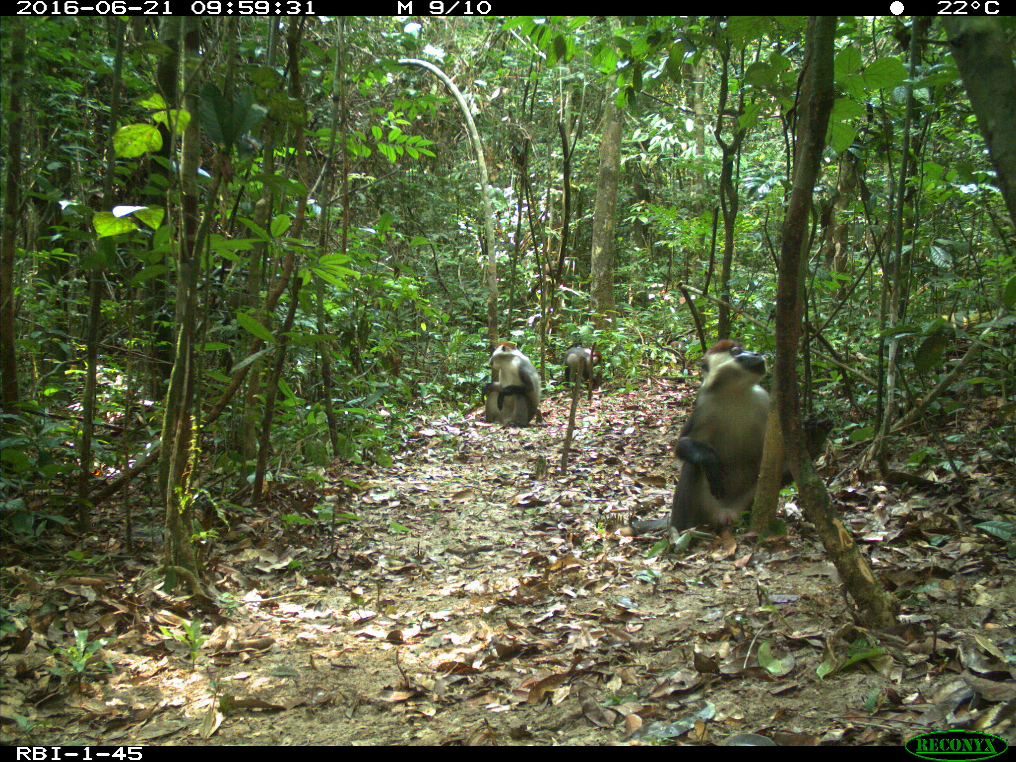
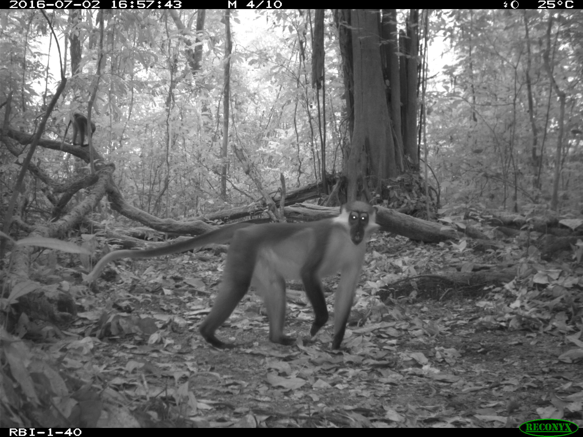
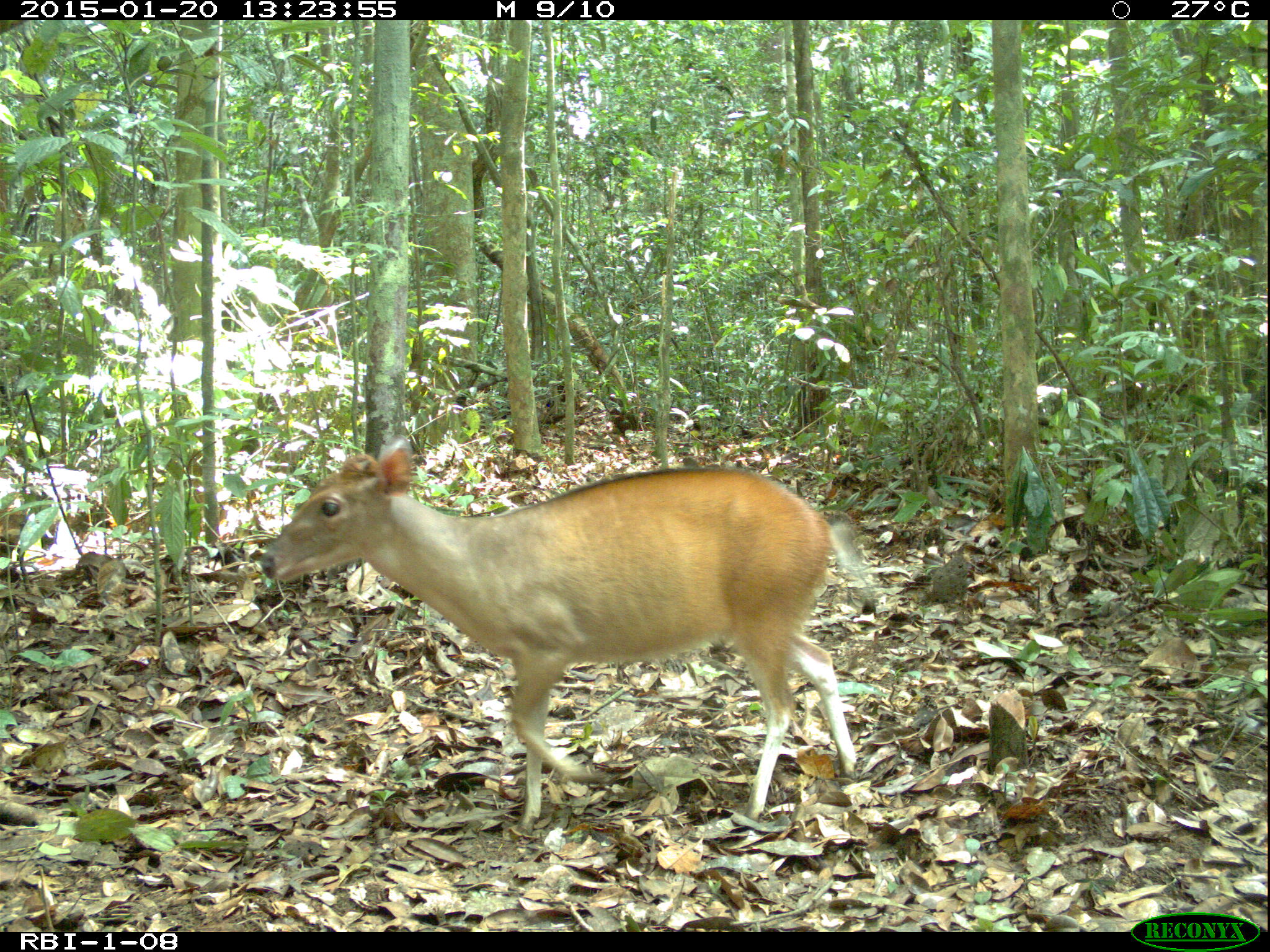
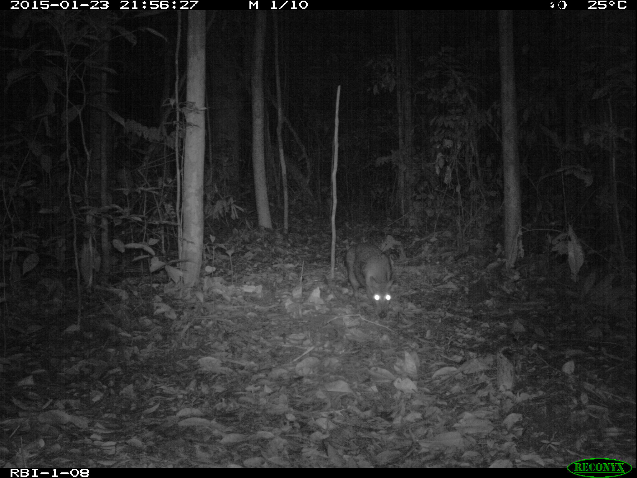
The onshore oil concession of Rabi, intensively developed for oil exploitation since 1985, is situated in the Gamba Complex of Protected Areas in Gabon and has been the most productive oil field in the country. Biodiversity research and monitoring started in Rabi in 2000 and showed that the site has high biodiversity value. As part of the monitoring of Rabi, The Forest Global Earth Observatory (ForestGEO) of the Smithsonian Institution Center for Tropical Forest Science (CTFS), in partnership with Shell Gabon, Assala Gabon, the Government of Gabon, and logging company Compagnie des Bois du Gabon (CBG) established in 2009 a botanical plot to understand the forest composition, diversity, structure and dynamics. The 25 ha (500x500 m) Rabi plot is located in a mature forest in the north-center part of the Gamba Complex of Protected areas, in the headwaters of the Rabi River. The area has been selectively logged since the 1920’s, mostly for Okoumé wood, and was also exposed to seismic exploration. The Rabi Oilfield has been intensively developed with platform, infrastructure, and laterite roads since 1985. No villages occur in the immediate vicinity of Rabi, and oil field workers are managed with an off-shore model relying heavily on air transport and with strict regulations of access, vehicle speed, hunting and other resource uses. Camera traps (Reconyx PC800 hyperfire) are deployed without bait in a 1 km² square 7x7 grid (n=49 points) including the Rabi plot. The grid is not center on the plot to avoid linear infrastructure (pipeline and road) and savannas. Trap density is one trap per 2 ha, and trap interspacing is 145 m. The grid include the entire plot plus a forest buffer of 90-260 m around it. The grid was sampled four times between 2014 and 2016: two times in the wet season (2014 and 2015), and two times in the dry season (2015 and 2016). Each camera trapping site was sampled at least 21 days within a season.
Project Caveats: on a few instances (7/196=2.5%) sites couldn't be sampled for 21 days.