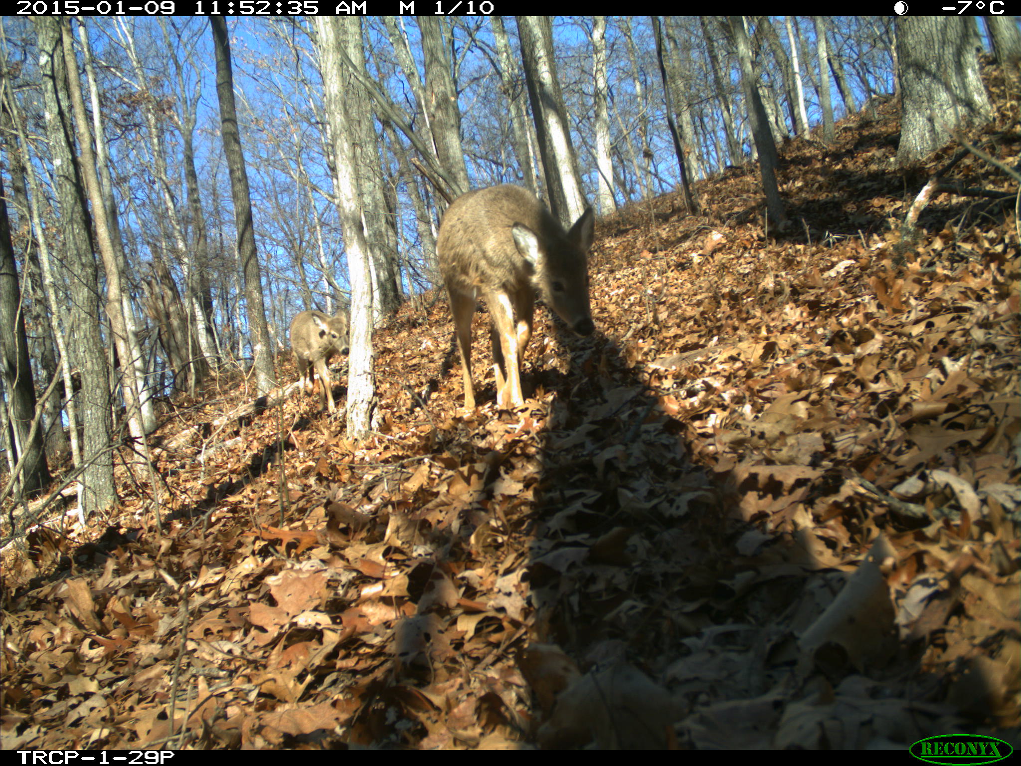
Tyson Research Center ForestGEO Project
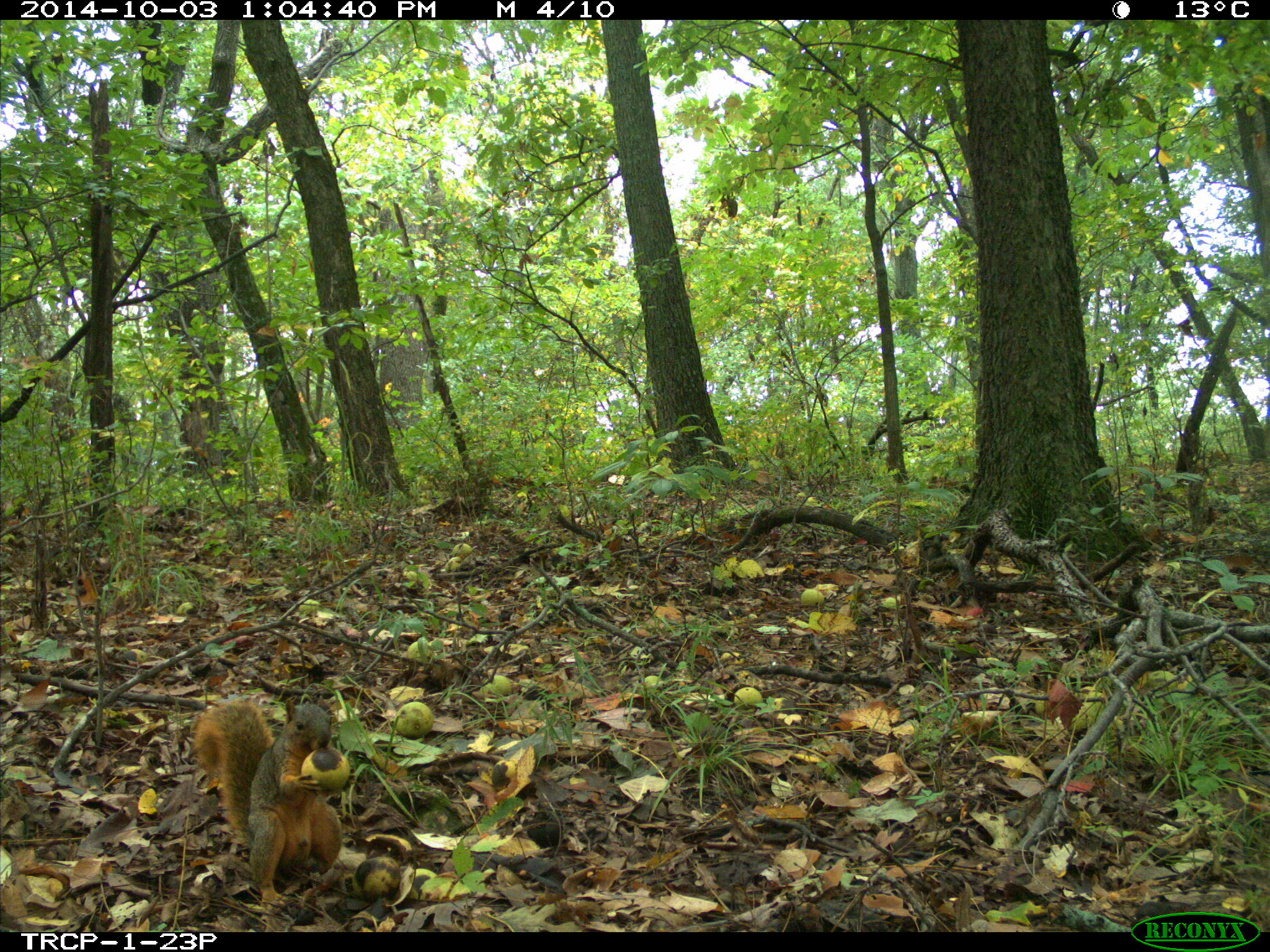
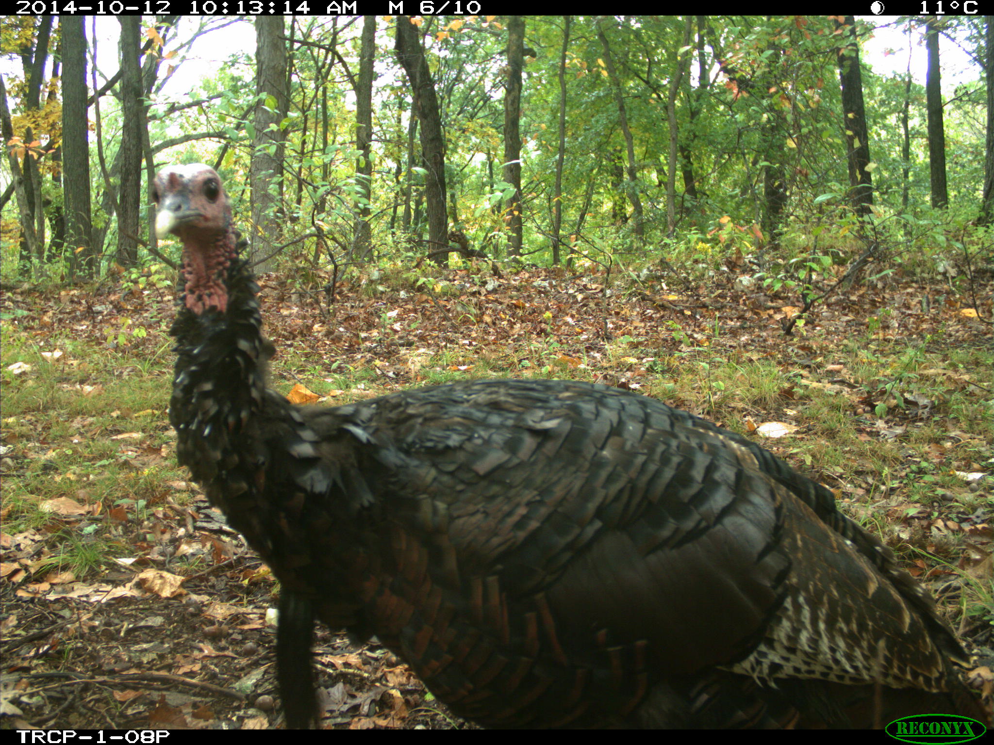
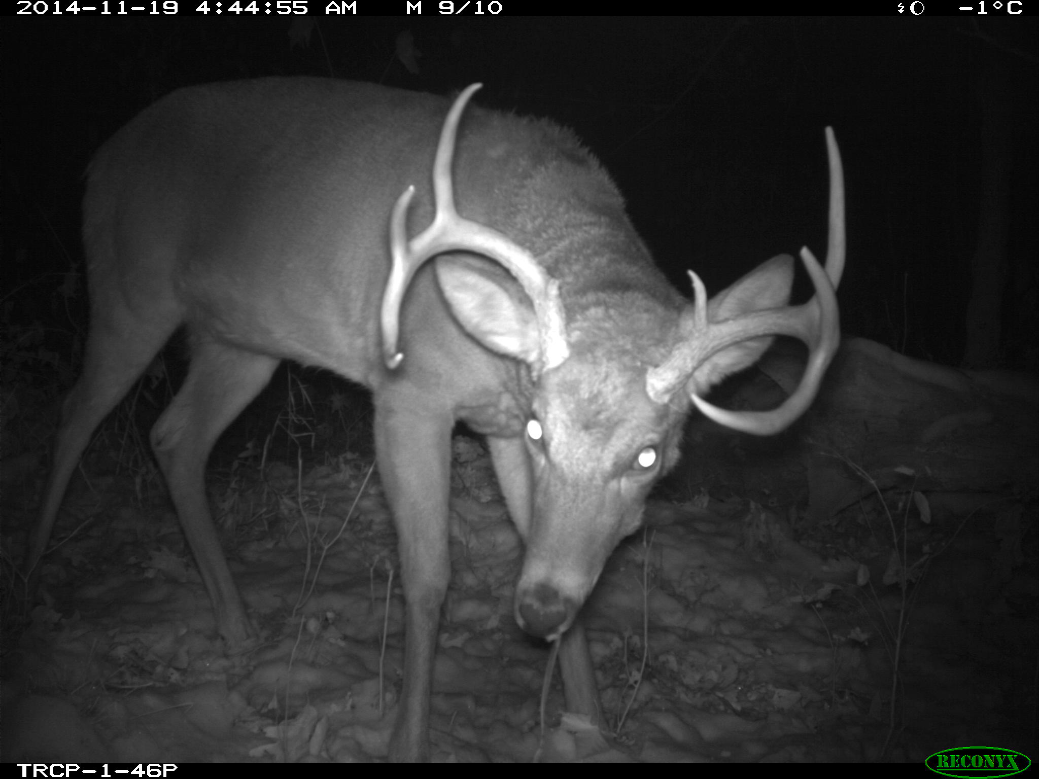
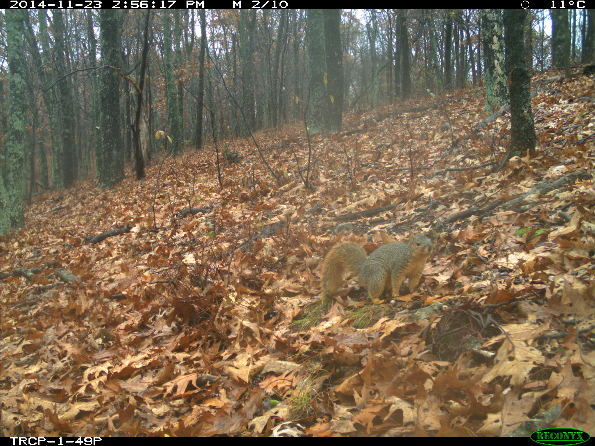
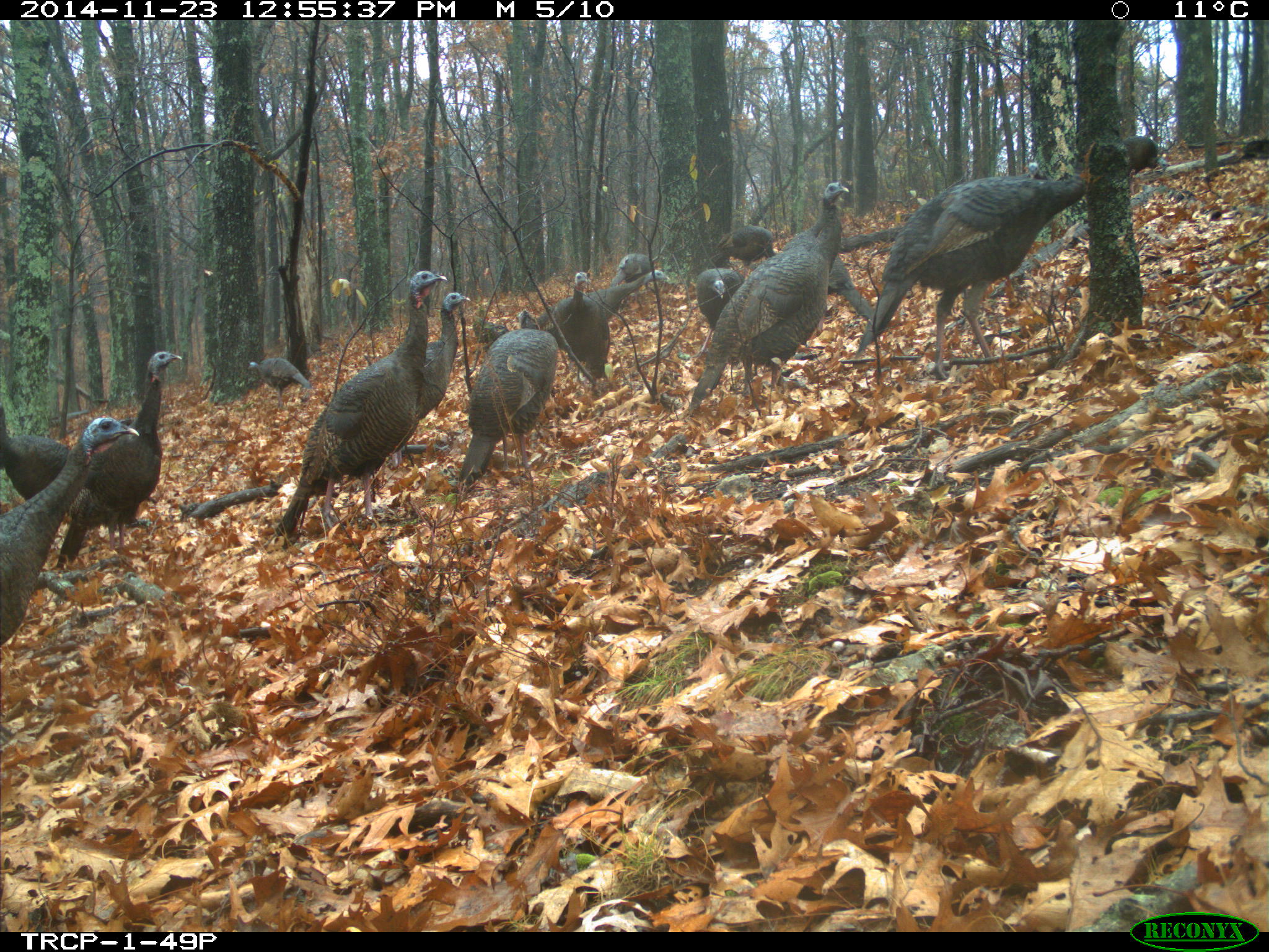
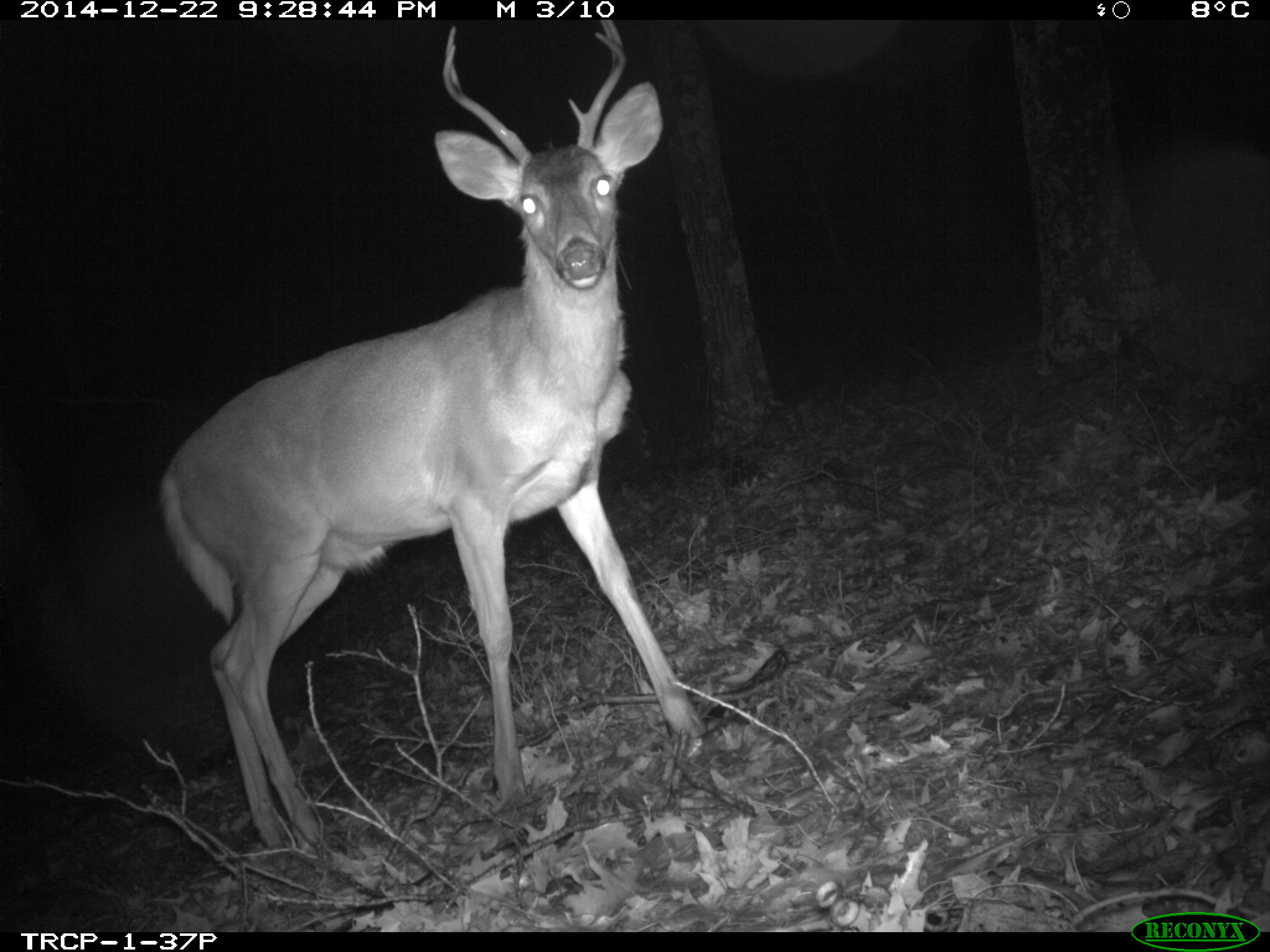
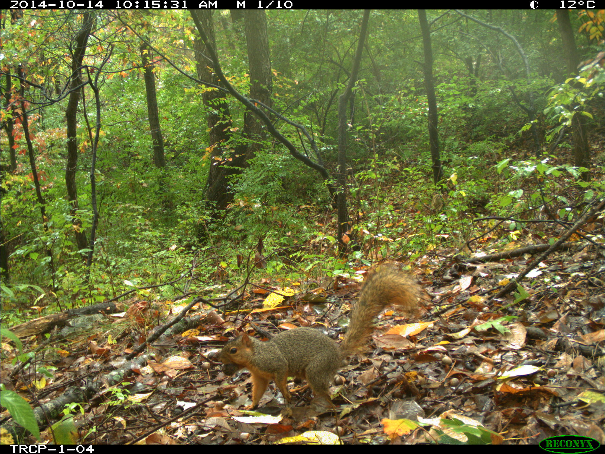
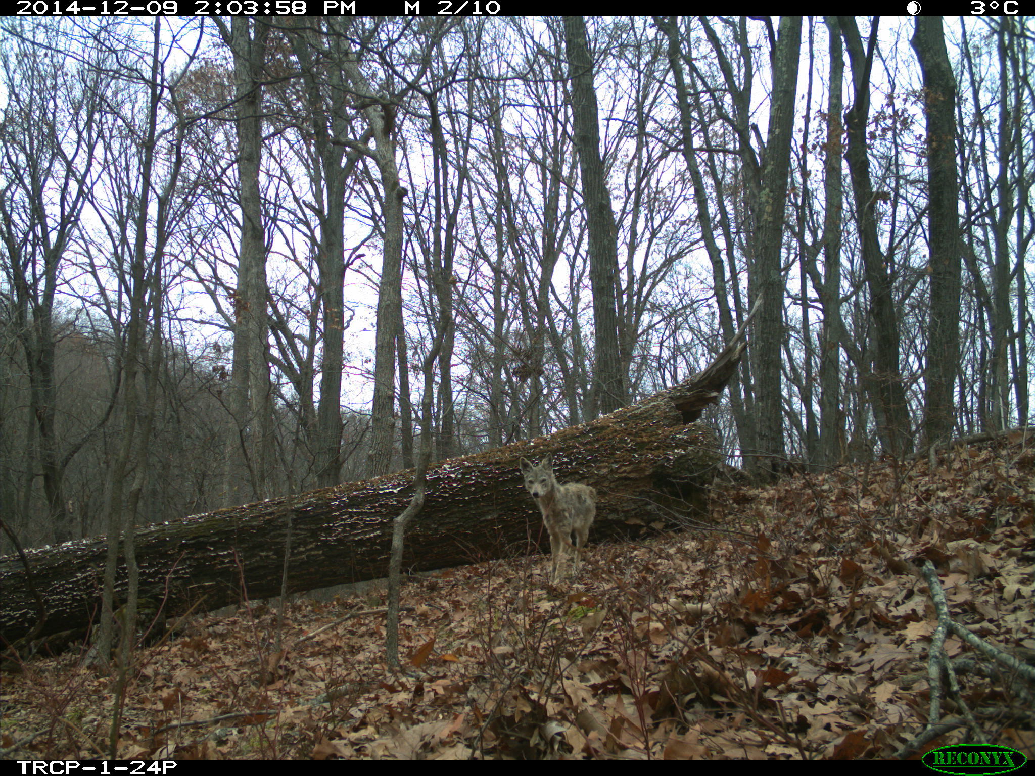
Our study was conducted at Washington University in St. Louis’ Tyson Research Center, located 25 miles (40 km) southwest of Saint Louis, Missouri (388310 N, 908330 W; mean annual temperature 13.58C; mean annual precipitation 957 mm). The 800-ha research center is located on the northeastern edge of the Ozark ecoregion and is largely dominated by deciduous oak-hickory forest. Following moderate grazing and selective logging during the early 1900s, the property was acquired by the U.S. military for munitions storage in 1942, and then purchased by Washington University in 1962 (Zimmerman and Wagner 1979). The property has been relatively undisturbed for ~80 years and tree cores collected from large individuals of dominant species indicated tree ages of 120–160 years in the early 1980s (Hampe 1984). Soils types include silty loams and silty clays that develop from shale limestone, limestone, cherty limestone and chert formations (Zimmerman and Wagner 1979). Camera trapping was conducted in and around the Tyson Research Center Plot (TRCP), a 25-ha (500 x 500 m), stem-mapped, forest-dynamics plot that is part of a global network of forestecology plots coordinated through the Smithsonian Institution Center for Tropical Forest Science (CTFS) and Forest Global Earth Observatories (ForestGEO). The TRCP includes strong edaphic and topographic gradients characteristic of oakhickory forests in the Ozark region. Elevation in the TRCP ranges from 172–233 m (mean ~206 m) and slope ranges from 0.88 to 26.98 (mean ~13.88) at the 20 x 20 m scale. The plot includes a representative range of habitat types found in oak-hickory forests (e.g., east-facing slopes, ridges, west-facing slopes, valleys).