Zofin ForestGEO Project
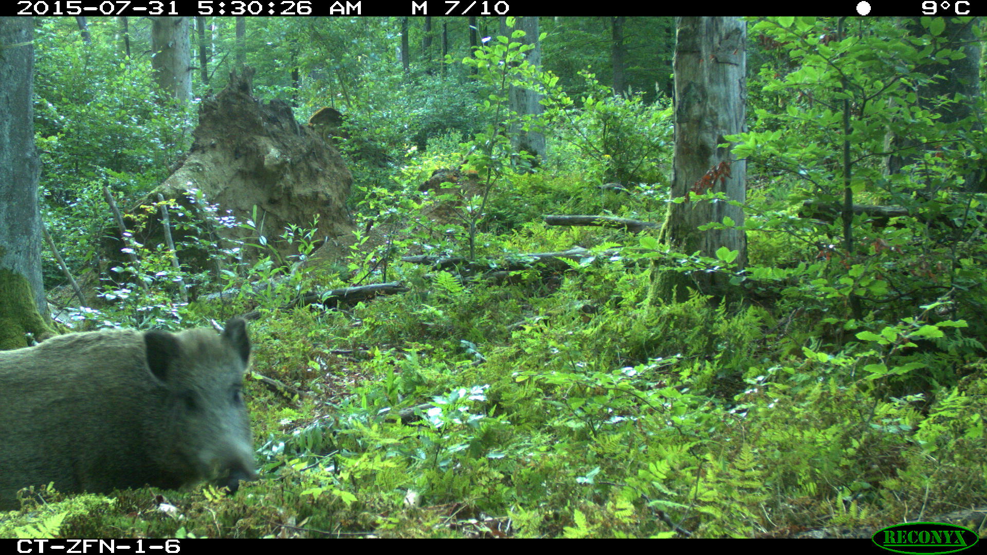
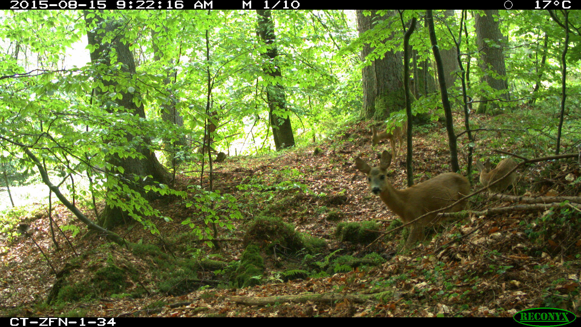
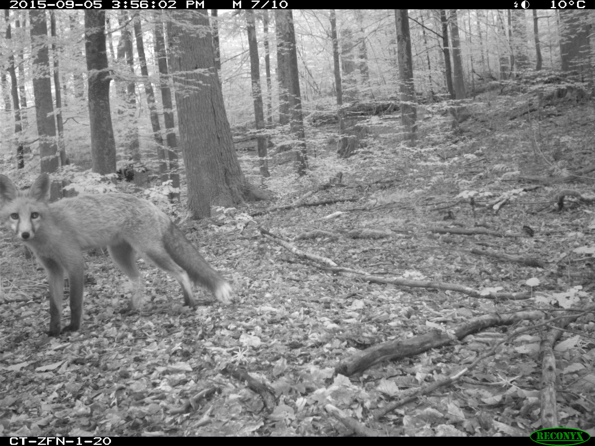
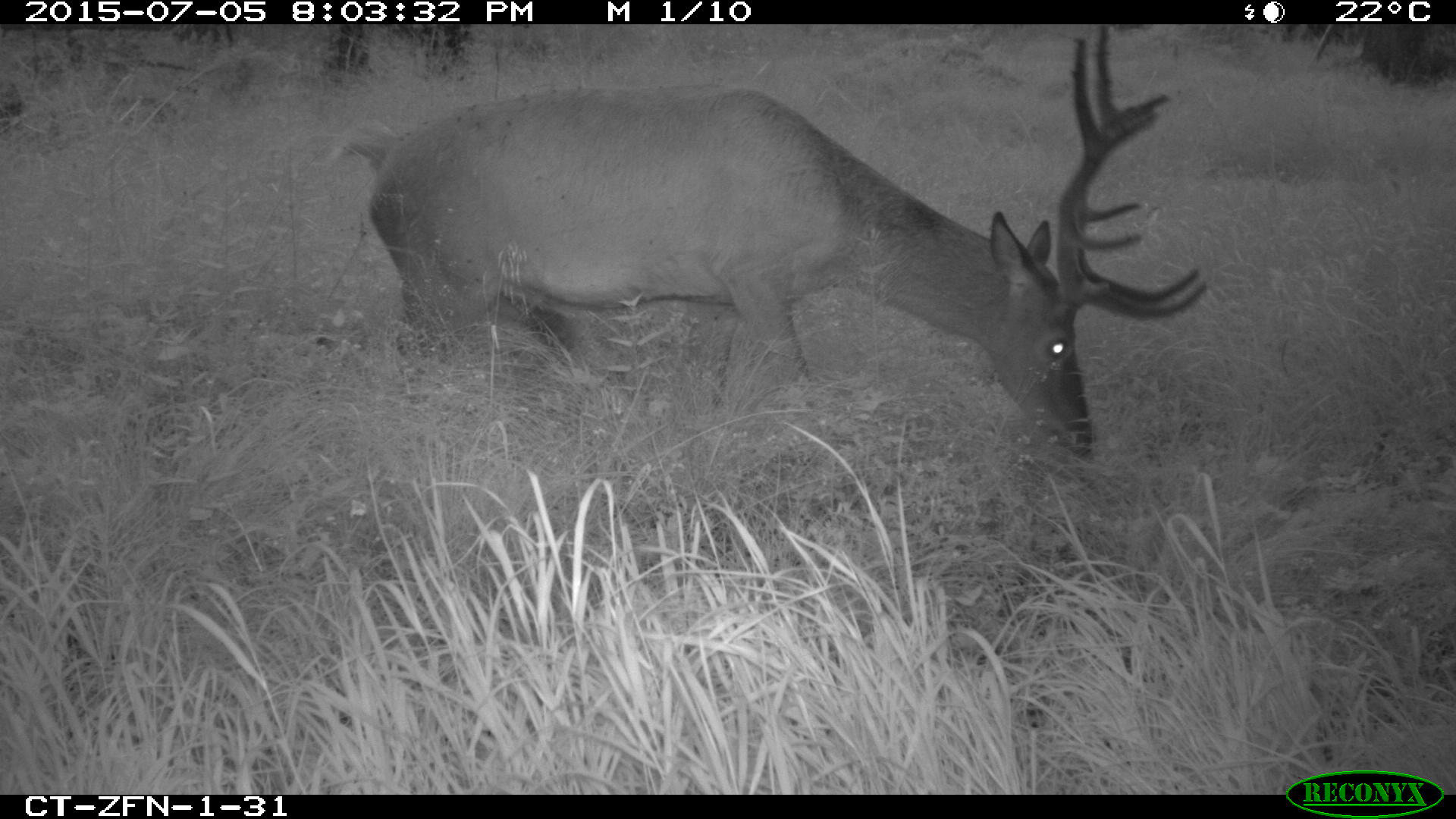
Zofin Forest Dynamics Plot is a 25 ha ForestGEO plot set within a 75 ha research area that has been intensively studied since 1975. It represents a well-preserved remnant of a natural spruce-silver fir-beech forest, situated in the Novohradske hory Mountains on the southern edge of the Czech Republic. The plot has been under strict protection since 1838 as one of the oldest forest reserves in Europe. Altitudinal gradient of 745–822 m a.s.l. is formed by predominantly NW gentle slopes. The mean annual precipitation total is 866 mm, and mean annual temperature is 6.2°C. Bedrock is almost homogenous and consists of finely to medium-grainy porphyritic and biotite granite. The dominant soils at normal (dry) sites are: Entic Podzols and Haplic and Dystric Cambisols. At wet sites, which are also quite common, there are Histic and Haplic Gleysols, Endogleyic Stangonosols or Fibric, Hemic and Sapric Histosols (Michéli et al., 2006). Plant communities can be classified as associations of Galio odorati-Fagetum, Mercuriali perennis-Fagetum, Calamagrostio villosae-Fagetum and Luzulo-Fagetum; at wet sites it is dominated by Caricion remotae or Equiseto-Piceetum (Braun-Blanquet, 1921). The dynamics of the plot are driven by a variety of disturbances including fungal pathogens, small scale to large scale wind-thrown disturbances, and bark beetle outbreaks. In January 2007, the Kyrill windstorm caused a significant disturbance in the tree canopy layer of the reserve.
On the 75 ha research area, all living and dead trees of dbh ≥ 10cm were censused in 1975, 1997, and 2008. In 2012, the 25 ha subplot (500 x 500 m) was installed following the ForestGEO protocol. In total, 60,112 standing stems ≥1 cm dbh were tagged, measured, identified, and mapped, representing 11 species. However, according to the basal area (BA) and counts (N) of living trees, the tree layer is dominated mainly by Fagus sylvatica L. (76% BA, 97% N), Picea abies L. (19% BA, 2% N) and Abies alba Mill. (5% BA, 0,1% N). Extensive, additional data on understory vegetation (including fungi and mosses), woody debris, tree uprooting events, windthrow pit-mound microtopography, soil characteristics, gap dynamics, tree regeneration, and dendrochronology (more than 2000 cores) has been collected. Recent 3D canopy structure of the plot has been measured by terrestrial laserscanning (6ha) and the soil depth and basement geomorphology has been measured by ground penetration radar at several points.
On the 75 ha research area, all living and dead trees of dbh ≥ 10cm were censused in 1975, 1997, and 2008. In 2012, the 25 ha subplot (500 x 500 m) was installed following the ForestGEO protocol. In total, 60,112 standing stems ≥1 cm dbh were tagged, measured, identified, and mapped, representing 11 species. However, according to the basal area (BA) and counts (N) of living trees, the tree layer is dominated mainly by Fagus sylvatica L. (76% BA, 97% N), Picea abies L. (19% BA, 2% N) and Abies alba Mill. (5% BA, 0,1% N). Extensive, additional data on understory vegetation (including fungi and mosses), woody debris, tree uprooting events, windthrow pit-mound microtopography, soil characteristics, gap dynamics, tree regeneration, and dendrochronology (more than 2000 cores) has been collected. Recent 3D canopy structure of the plot has been measured by terrestrial laserscanning (6ha) and the soil depth and basement geomorphology has been measured by ground penetration radar at several points.